Loading...
How You Can Help Track Drought in Oklahoma
Despite recent beneficial rains, drought is on the rise once again in Oklahoma. Northwest and east-central sections of Oklahoma saw drought increase on this week's U.S. Drought Monitor map, and overall coverage has increased from 3% of the state to more than 15% in the last three weeks. This is the fourth in a series of drought intensifications Oklahoma has seen since this larger drought episode began back in late summer of 2021.
Drought can vary greatly across small distances, from one side of a county or town to another, and sometimes from neighbor to neighbor. While they may receive over 2 inches of rain from a passing storm, you might only experience a few sprinkles. When multiplied across several storms, these disparities can result in significant differences in moisture levels. Such variations make it challenging for drought experts to accurately classify drought conditions, or even to detect their presence. In other instances, precipitation might relieve one drought impact while other impacts remain unchanged. A moderate rain, for instance, might relieve soil moisture deficits but leave stock ponds and other reservoirs depleted. This can make it exceedingly difficult to get an accurate depiction of drought.
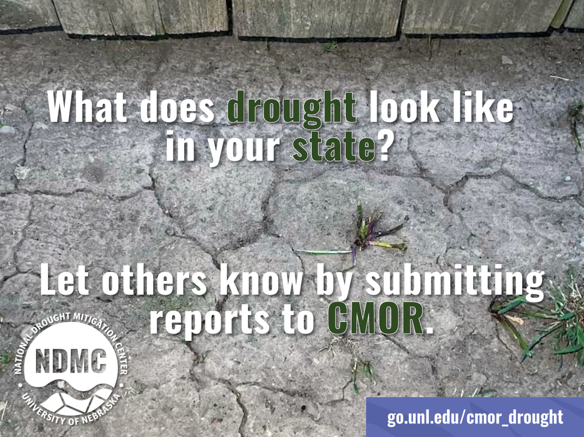
Now, Oklahomans can help local, state, and national decision-makers better understand drought conditions across the state by completing a survey via the Condition Monitoring Observer Reports (CMOR) service at https://droughtimpacts.unl.edu/Tools/ConditionMonitoringObservations.aspx.
The CMOR system, managed by the National Drought Mitigation Center, collects reports of local weather conditions and impacts around the country. Your report will become part of the permanent record. It will appear immediately on an interactive map visible to the public, including authors of the U.S. Drought Monitor and the media. The Drought Monitor is used by the U.S. Department of Agriculture to trigger disaster declarations and eligibility for low-interest loans and assistance programs. State and local decision-makers also use the map to implement drought response activities.
CMOR reports are one piece of supporting evidence used in the development of the Drought Monitor each week, providing on-the-ground information used by authors of the Drought Monitor to better understand local conditions. Observations shared via CMOR will not be used as sole justification to change an area's drought classification.
Information incorporated in a CMOR report includes current moisture conditions and how they compare to typical conditions, as perceived by the observer. The system allows users to also note impacts on different sectors, such as crop and livestock production, municipal water supply, recreation, and public health. Citizens are encouraged to submit photos along with their reports to illustrate conditions in their community.
You can submit reports as frequently as you'd like. Frequent reporting is particularly useful during times of rapid change and extreme weather, but we encourage users to participate year-round to provide an ongoing comparison of wet, dry, and normal conditions.
To learn more about CMOR, in English and Spanish, and how you can become an observer, check out https://go.unl.edu/cmor_drought.
Please support The Marlow Review by subscribing today!
You may also like: